The Landscape of Marojejy
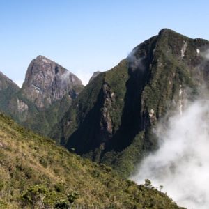
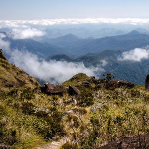
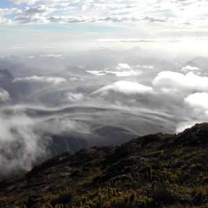
The Marojejy Massif lies in the center of a crescent of mountains and forests which extend almost uninterrupted between Tsaratanana in the northwest, southward to the Masoala Peninsula. It is rugged country, with elevations ranging from 75 m (250 ft) up to the summit of Marojejy Peak itself at 2,132 m (6,995 ft). In general, the northern flanks of the massif rise along relatively gentle slopes, then break on the south sides in sheer vertical rock walls many hundreds of meters high.
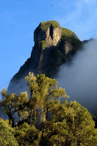
The entire Marojejy region is underlain by Precambrian basement rocks which were once part of the ancient landmass called Gondwanaland. Starting approximately 160 million years ago, tectonic forces in the earth broke this ancient landmass apart, forming what are now the continents of Africa, South America, Australia, and Antarctica, as well as the subcontinent of India and the island of Madagascar. The ancient rocks of this area are for the most part granites and gneisses, and it is because these rocks are very hard and resistant to weathering that we see the high mountains and sheer cliffs of Marojejy today.
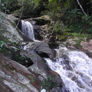
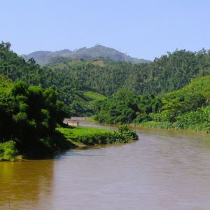
Two major watersheds are fed by the Marojejy Massif. The northern slopes are drained by the very long and large Androranga River, while the southern slopes are part of the Lokoho watershed. The headwaters of the Lokoho are formed by the mountains encircling the Andapa Basin, including the massifs of Anjanaharibe-Sud, Betaolana and Marojejy. Both the Lokoho and Androranga rivers empty to the east into the Indian Ocean.
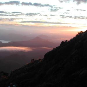
The climate of Marojejy is defined primarily by regional wind patterns and the rains these winds transport. During the warmer season of November through April, monsoons blowing in off the Indian Ocean carry heavy rain and periodic cyclones. During the cooler season of May through October, southeasterly winds bring light, variable rains, with rare storms. At lower elevations in the park, the average annual rainfall is about 2,243 mm (88 inches).
The temperature difference between the warm and cool seasons is slight, as is the daily temperature range. The hottest month is February, when the temperature can exceed 29º C (84º F), while during the coolest month of August, temperatures can dip below 8º C (46º F). Temperatures vary considerably throughout the area, however, generally decreasing as one climbs in elevation. Likewise, rainfall on the eastern slopes is considerably higher than it is in the rain shadow of the western slopes.